×
Visiting the village

Route description
Length: 10.9 km Elevation gain/loss: 213 m
Duration: 4.5 hours Healing air hiking map: Ru
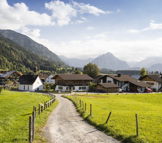
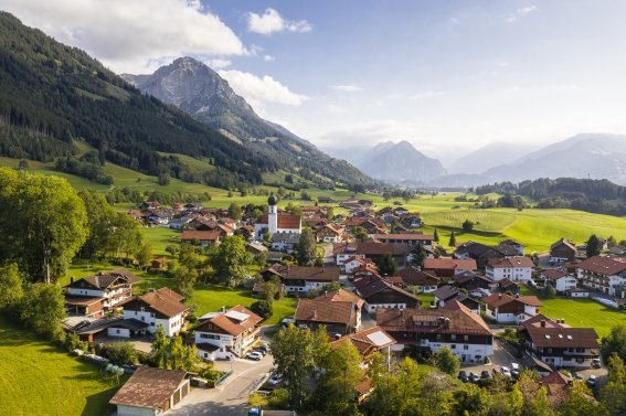
The hike begins to the north of the community, following the wild Trettach river to its confluence with Oberstdorf’s other mountain streams. This marks the source of the "Iller", which flows to the Danube and on to the Black Sea. The route then continues with a brief visit to the picturesque district of Rubi before climbing to a north ridge. With every metre you climb, the more spectacular the views of the basin and the Allgäu Alps around Oberstdorf become. After reaching what has to be one of the most beautiful viewpoints in Oberstdorf, the trail leads along a varied route to the Schöllang mountain church. Some 80 metres above the valley, the area around the little church provides further panoramic views.
Tip:
Without the section to the Schöllang mountain church, the circular route via Rubi is certified as suitable for wheelchair users.

Die hier abgebildeten Verläufe / GPS-Daten wurden manuell erstellt und dienen nur zur allgemeinen Orientierung
Weg ist mit festem Schuhwerk (knöchelhoch, gute Sohlen) begehbar, Trittsicherheit erforderlich
Normalkondition
Keine Schwindelfreiheit notwendig
Trittsicherheit empfehlenswert (einfaches, alpines Gelände)
Weitgehend unberührte Kultur-, Natur- und Berglandschaft mit sehr schöner Aussicht
Kies
begehbar
10,9 km
99 m
775-808 m
4,5 Std.
213 m
212 m
Tal
Wanderweg
letzte Aktualisierung am 08/19/2024


